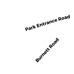
601 BURNETT RD
Owner Information
DESIMONE ALBERT A JR &
601 BURNETT RD
CHICOPEE, MA 01020 4603


Property Details
601 BURNETT RD is classified as a Single Family Residential (Ranch).
The primary structure on this property was built in 1962. There are 2,636ft2 of built area within this property. There is 1,254ft2 of residential/living space within this property. This property is listed as having 8 rooms.
601 BURNETT RD is valued at $230,200. The land is valued at $93,400 and the structures are valued at $127,700. There is an additional valuation of $9,100 on this property.
The most recent deed for 601 BURNETT RD is recorded at the local registrar in Book 30821, Page R L. 601 BURNETT RD was last sold on Friday, November 22, 2002 for $0.
Assessment data from fiscal year 2022.
Flood Data
According to the FEMA National Flood Hazard Layer, this property does not appear to be in a flood zone. It may also be in an area not yet reviewed. Nonetheless, confirm this information prior to taking any action.
To view the flood hazards around this property, create a FEMA "Firmette" Map of the area around 601 BURNETT RD.
Broadband Internet Providers
| Provider | Type | Bandwidth (mbps) | |
|---|---|---|---|
| Viasat Inc | Satellite | 100 | 3 |
| Verizon New England Inc. | DSL | 5 | 0 |
| Charter Communications Inc | Cable | 940 | 35 |
| GCI Communication Corp. | Satellite | 0 | 0 |
| HughesNet | Satellite | 25 | 3 |
| VSAT Systems, LLC. | Satellite | 2 | 1 |
Broadband service provider data from December 2020.
Adjacent Properties
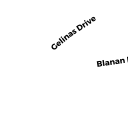
- 60 GELINAS DR
Single Family Residential owned by ZHENG MAO XIONG - 52 GELINAS DR
Single Family Residential owned by DAIGLE ROSALIE P - 595 BURNETT RD
Single Family Residential owned by GENDREAU RICHARD N - 607 BURNETT RD
Single Family Residential owned by LAPAN KEITH - 42 GELINAS DR
Single Family Residential owned by BULL LISA H